Getting Around and Maps
There are several ways to navigate the city, including public transportation and transportation services such as taxis, rental cars, charter services and ride-hailing services such as Uber, Lyft, and Waymo. In downtown Phoenix, Scottsdale, and Sky Harbor Airport, you can also enjoy a driverless ride by using an autonomous vehicle with Waymo. Waymo operates in downtown Phoenix, Scottsdale, and offers 24/7 curbside pickups and dropoffs at Sky Harbor Airport.
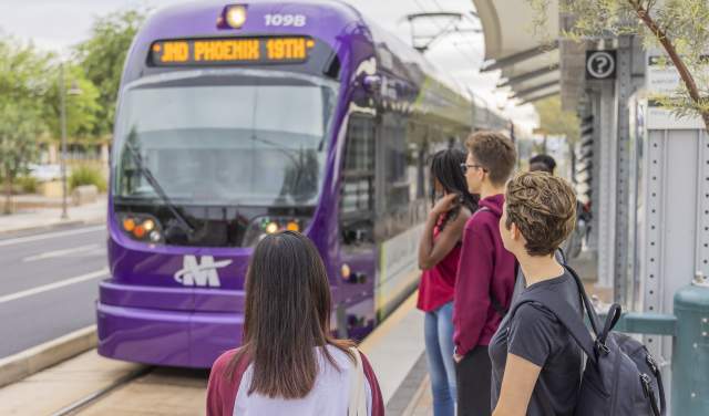
Valley Metro Rail runs from northwest Phoenix, through downtown, to Tempe and Mesa in the east. Stations are close by and run right by some of the area’s top attractions, such as the Heard Museum, Phoenix Art Museum, Arizona Science Center, Chase Field, Footprint Center, Arizona State University and more.
A 1-Ride pass on the light rail costs $2 or a 1-Day day pass is $4, which can be purchased at the ticket vending machines at each station. You can download the Valley Metro app to plan trips and track trains and buses in real time. Head to https://www.valleymetro.org/ for more information.
Amtrak's southern most route, Sunset Limited, also makes a stop in nearby Maricopa.
Maps
Take a closer look at the city, state and downtown; plan an outdoor adventure with our trail guide…
Airports
Sky Harbor, dubbed America's Friendliest Airport, is the main airport for the Greater Phoenix area…
Public Transportation
Learn more about the city's light rail, bus and ADA services.
Transportation Services
Learn about the various kinds of transportation you can enjoy, including pedicabs, bike share…


